We went up over 1000 feet in elevation in almost 2 1/2 hours of hiking and were within 450ft of the next geocache, but I had to be somewhere by 6pm, so we had to head back down. That 450 feet was also across a boulder field that would have taken a long time to cross. The "trail" we were on was probably at least a 45° incline. Here's a pic of Sherrie coming up part of that slope:

The really bad part about that slope was that we had to come back down. My knee is still recovering. We met a guy with two dogs coming up just as we turned back. He had been to the top before on the real trail. He described how to get there, so next time we'll go that way.
We still found 6 geocaches and enjoyed some very nice views. The weather must have been perfect for flying, because there were plenty Air Force Academy training gliders in the sky.
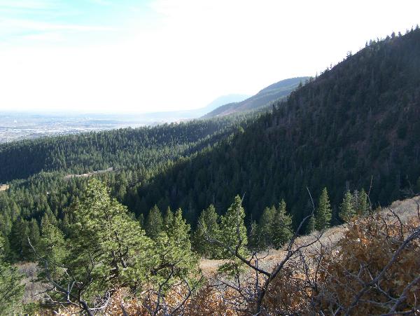
Here is the view toward the south, including Cheyenne Mountain way in the distance from one of the caches:
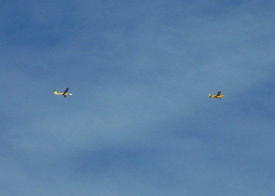
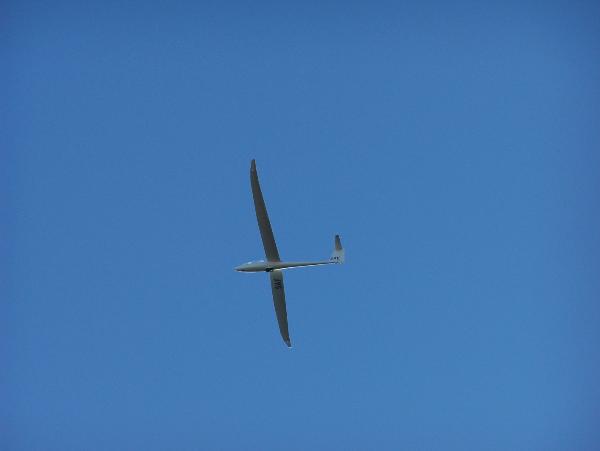
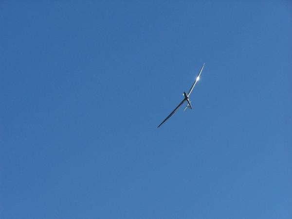
Here is a pic of an AFA glider in tow and then 2 pics of the glider overhead:
So, I don't know how many more hikes I'll get in this year, but it's supposed to be in the 30s and maybe snowy next Monday.

2 comments:
Gorgeous pictures!!!! I have RSS'ed your blog so I read it the day you post. What a wonderful hike. I'd like to learn more about geocaching sometime ...
Thanks! Unfortunately I had some glitches with the pics when I loaded them and it cut off the right side of each one.
Post a Comment